CAES
Admiralty ENC Service
Based on ADMIRALTY AVCS data, CAES provides the widest possible coverage available in official ENCs. Customers can now benefit from a number of innovative licensing solutions for navigational data which will assist in meeting their obligations for safe navigation.
CAES is distributed in our DNV approved SENC format. This compressed format allows the data to be imported into your ECDIS in a fraction of the time required by other data formats, reducing risk and communication costs - making the update process simple and easy.
- Satisfies the SOLAS carriage requirements
- Enables paperless navigation on a type approved ECDIS
- Easy and flexible licensing
- Type approved SENC distribution
- Quick and easy installation
- Supported by the majority of ECDIS systems
- CAES updating includes New Editions and New Charts
- CAES is effective and efficient – lower data sizes mean lower communication costs

FlatFee / FixedFee / Open ENC Service (PAYS) / DirectLicensing
CAES_CEES
Admiralty ENC Service
Extended ENC Service
- UKHO AVCS in System ENC (SENC) format
- Complete coverage of all available worldwide ENC’s (14750)
- Combine with the Admiralty Information Overlay (AIO)
- Type Approved for Paperless Navigation (SOLAS)
- Updated daily with NtM’s
- Automatically updated daily via Internet / Email
- Prices set by HO’s themselves
- Easy installation with cell based licensing
- Supported by all C-MAP Licensing methods
FlatFee / FixedFee / Open ENC Service (PAYS) / DirectLicensing
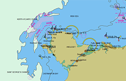
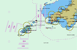
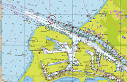
AVCS
Admiralty Vector Chart Service
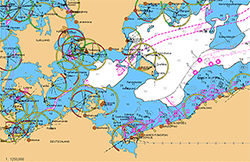
The ADMIRALTY Vector Chart Service (AVCS) is the world’s leading digital maritime chart service, with over 15,750 official Electronic Navigational Charts (ENCs) to help bridge crews navigate safely and efficiently whilst meeting Flag and Port State requirements.
Key features of AVCS include:
- United Kingdom Admiralty Vector Chart Service in S-63 format
- Complete coverage of all available worldwide ENC’s
- Available in S-63 or SENC format (CAES)
- Combine with the Admiralty Information Overlay (AIO)
- Weekly updates available via Online and Online+ updating services
FlatFee / FixedFee / Open ENC Service (PAYS) / DirectLicensing
Professional+
Is a global vector chart database that navigators have benefited from for years in the ECDIS and ECS systems. The chart sources are based on official charts (both paper charts and digital charts).
- Professional+ cartography services offers enhanced, global coverage of of our digital charts with additional information that is updated daily through our online updating service. Worldwide vector chart coverage in all scale levels
- Used on tens of thousands of ships worldwide
- Derived from electronic & paper charts from HO’s
- Updated daily with NtM’s
- Sold in convenient Zones and Areas
- Easy installation and licensing
- Automatically updated via Internet or email
- Perfect for non-mandated ECS
- Perfect for shore-based applications
FlatFee